
6/12/2026
Our primary objective is conducting CTD casts along the P04E line in order to collect cast sensor data and samples at our specific stations, capturing singular moments in time. (Go check out Andrew’s previous blog on the CTD!) However a GO-SHIP cruise does SO much more. Via collaborations with the global Argo array and NOAA’s Global Drifter program, we deploy long term sensors that remain at sea collecting and transmitting data back to us for years! These sensors are two parts of the Global Ocean Observing System international programs, contributing to the development of broad scale global arrays for salinity, temperatures, and velocities as well as many other parameters. All of this data is open source, (meaning anyone can look at it and use it) and is an invaluable resource to the expansion of oceanographic research.
Let’s break these two types of instruments down!
ARGO floats
There are 3 main types of Argos, all of which we deployed on this cruise. These Argo floats begin its operating cycle by descending and drifting for a set period of 10 days until it finally descends to its profile depth, and records as it returns to surface, after which it transmits its data to satellites, and repeats this cycle for its whole lifetime.
- The Core Argo was the initial program goal which measures temperature, salinity, and pressure with floats that descend to 2000 m.
- The program expanded with the Deep Argos which function with the same goals as the Core floats, however the different 2 models descend to depths of 4000 or 6000 m which allow for full ocean depth profiles to be captured!
- The BGC Argo or biogeochemical float measures so many more variables beyond the Core functions such as chlorophyll-a fluorescence, oxygen, nitrate, pH, and suspended particles.
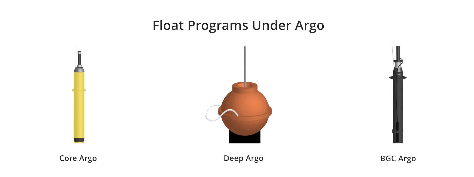
Image adapted from https://www.aoml.noaa.gov/argo/.
LCL Drifters
The drifter program was initially set up to gain more stations reporting air pressure so that weather forecasts, like the ones you and I look at everyday, could be more accurate. Now these drifters measure atmospheric pressure, sea surface temperature, and often include measurements for winds, wave height, and salinity too. The drifters have a surface float and sensors underneath which collectively collects and transmits the data. Below the surface the drogue is a large net that is designed to drift in near-surface currents, allowing the currents to be tracked and not just have the winds at the surface push the float around like a beach ball.
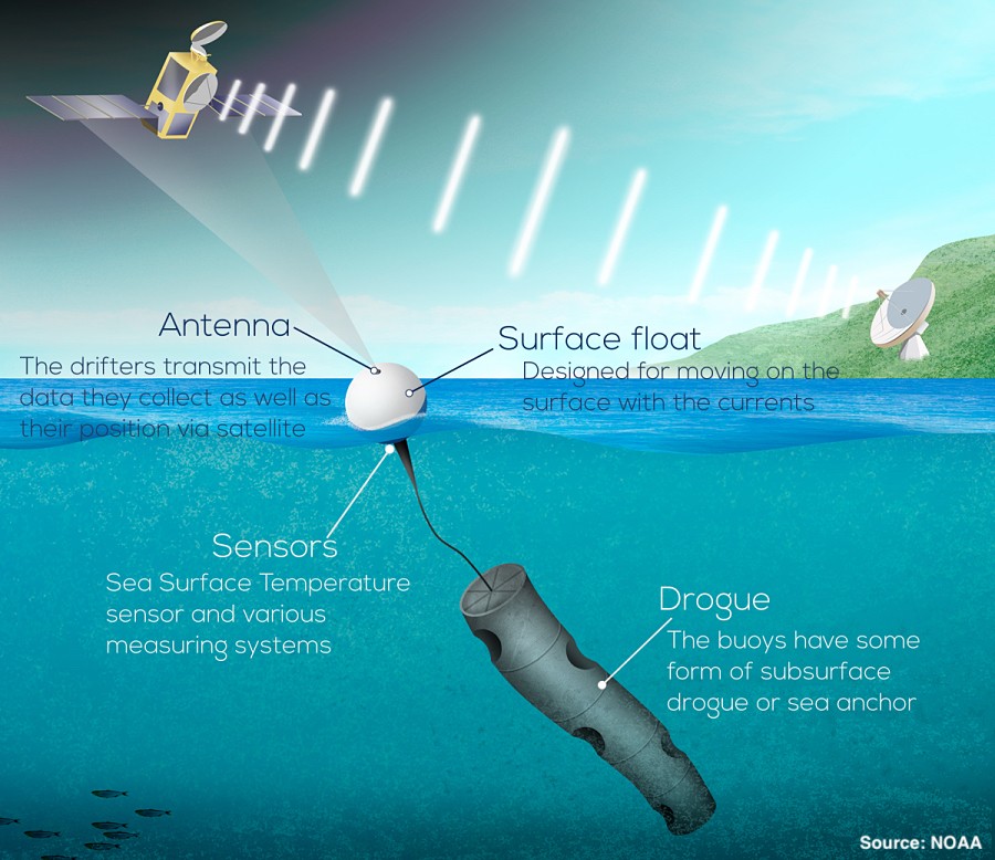
Image and Information from https://www.aoml.noaa.gov/global-drifter-program/.
How we deploy
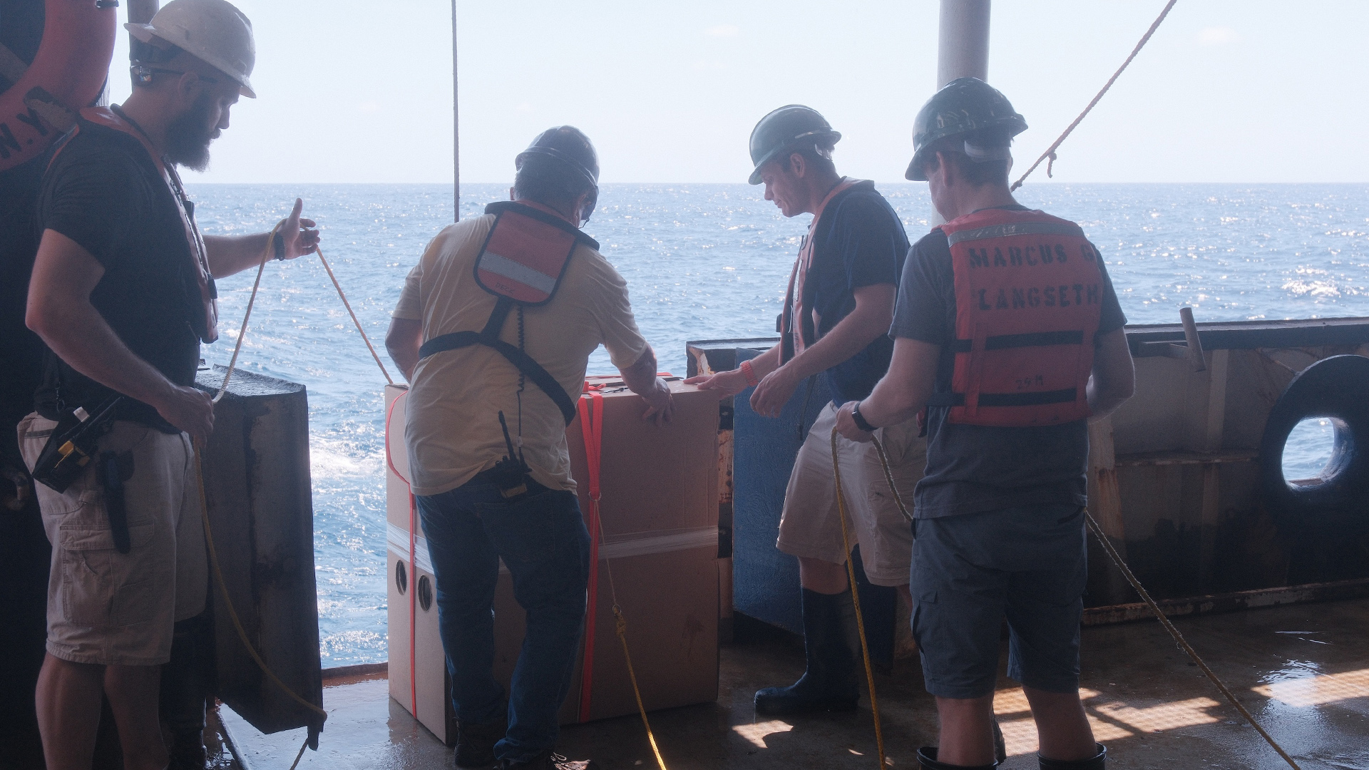
Equipped with our safety gear (aka life vest, hard hat, and steel toe boots, and yes we feel just as cool as we look) we slowly and carefully lower our Argo children into the water at 2 knots and wave goodbye as they float off in their forever home. Many of these floats have been lovingly named by us, such as Riley and I’s child Bartholomew. Our Drifters are the true soldiers as we lovingly chuck them, yes literally throw them, off of the ship at 10 knots and wave.
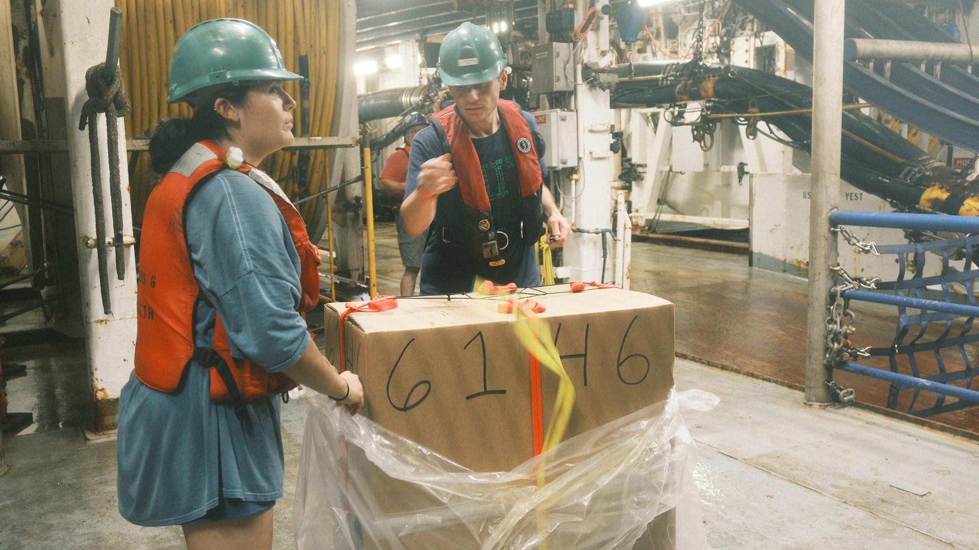
Preparing a Deep Argo float for deployment
Hooking up the Deep Argo float to the crane
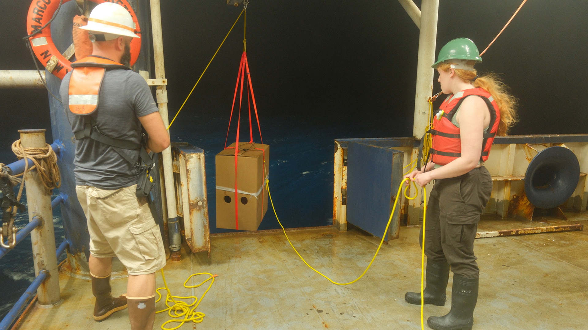
Deploying the Deep Argo float using the crane
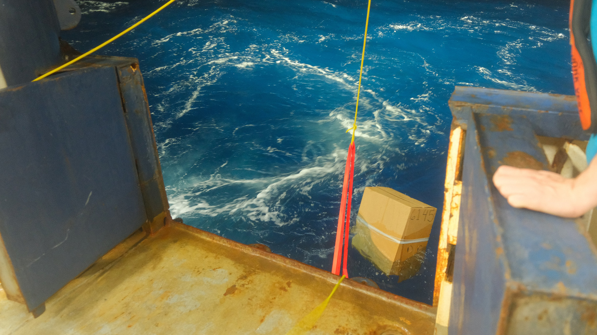
Deep Argo float away!
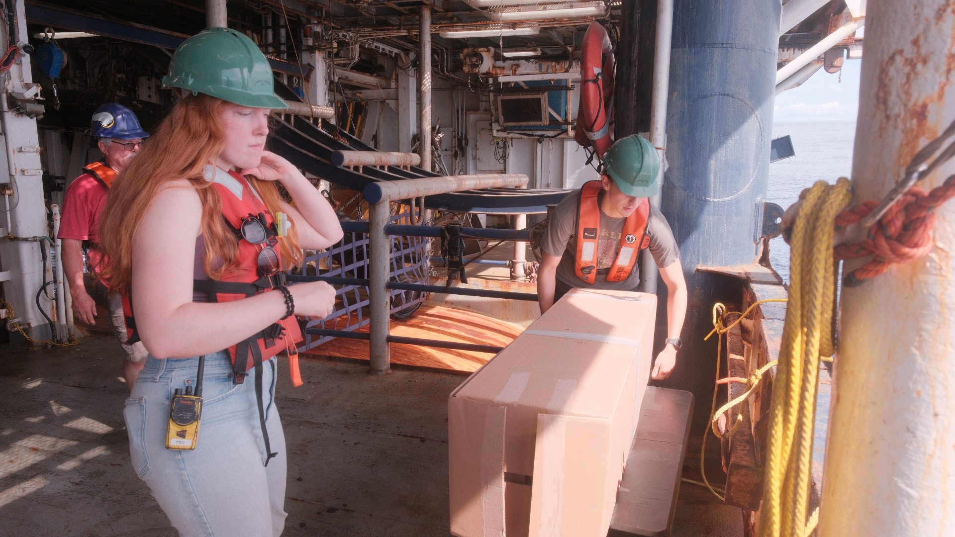
Prepping the float for deployment
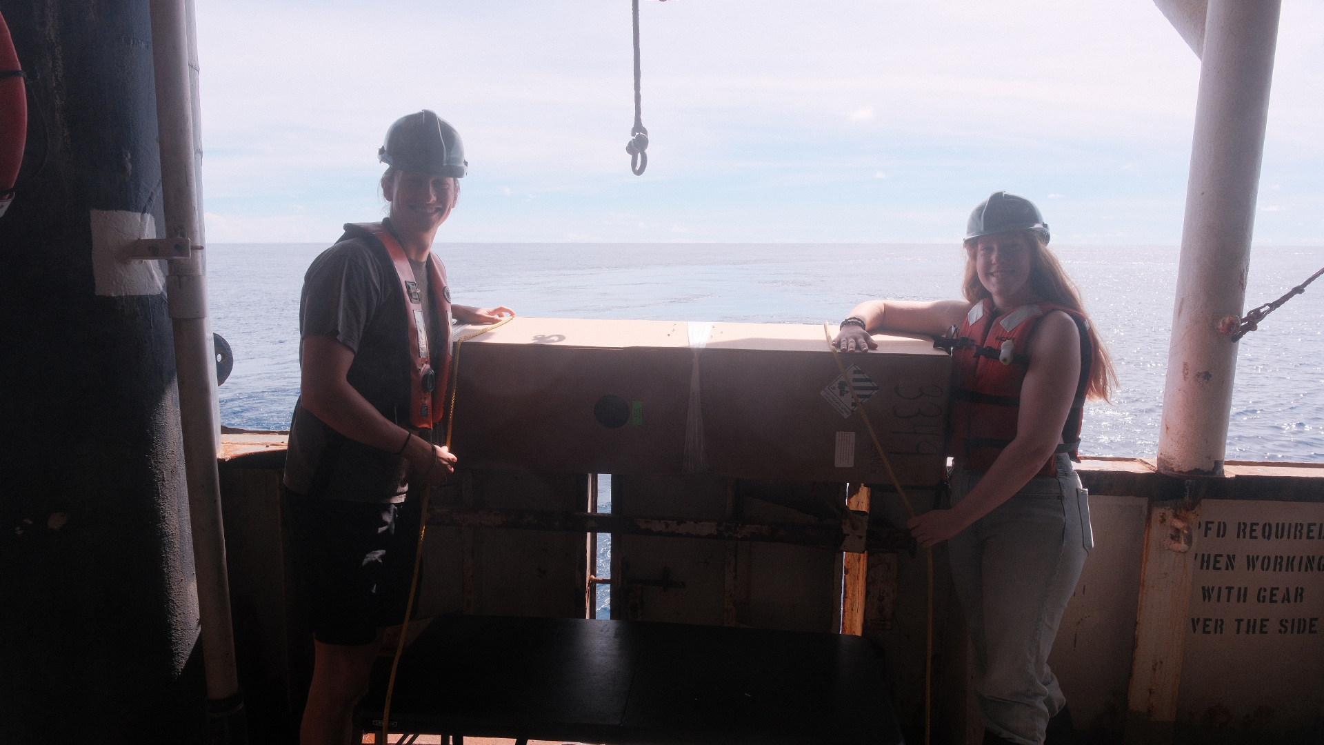
Float silhouette
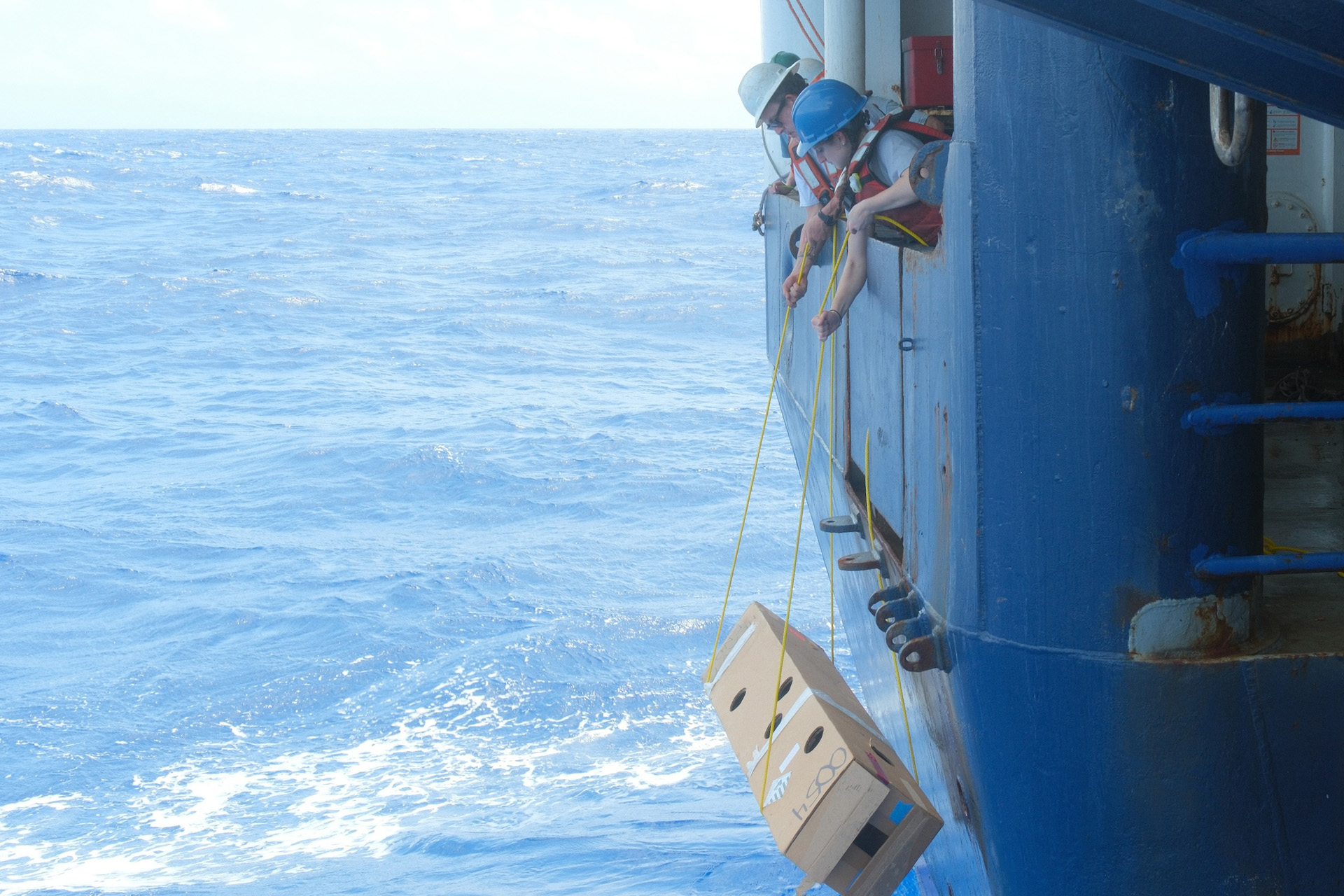
Rolling the float carefully down the side of the ship
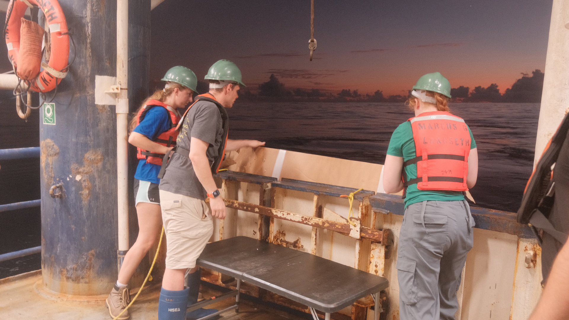
Lowering a float over the side at sunset
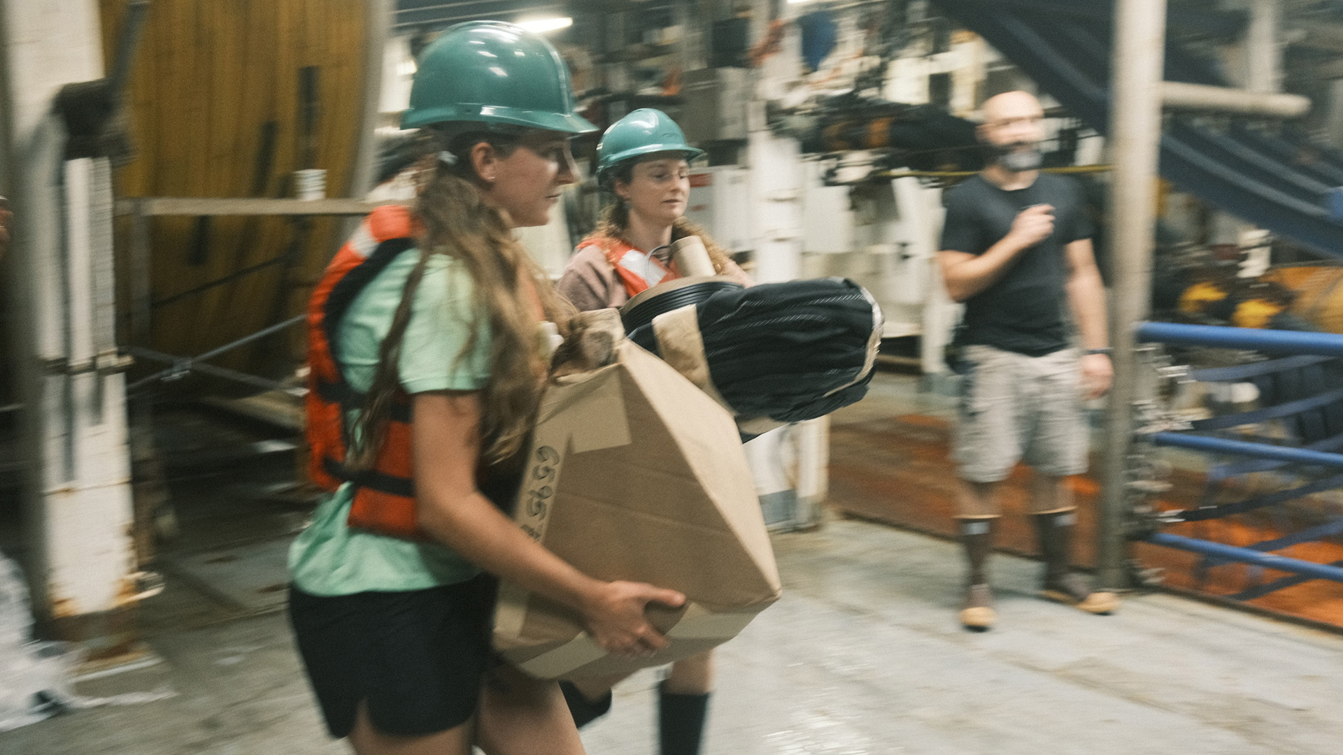
Carrying a drifter to the side to toss into the sea!
What the data looks like
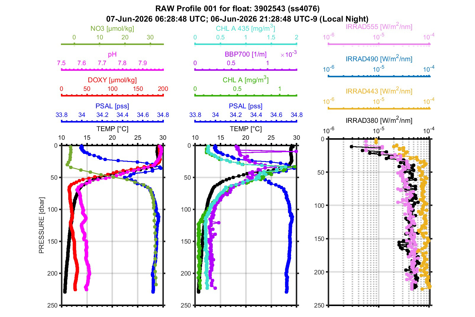
(aka it talked to us for the first time!) This BGC float 3902543 was deployed at 9.503 N and -130.010 W on June 7! In this left plot of the profile we can see a low oxygen zone zone in red which is a major feature of interest of this cruise line, clear deep chlorophyll maximum (plot 2-green) in line with salinity max (dark blue) and nitrate minimum (1st plot-light green), in this nighttime profile and all sensors came back operating so it was a successful deployment!
The drifters are much simpler to deploy, the ship doesn’t slow down and they get tossed off the stern. Zoe Fricker and Riley Ames enjoyed this task. Photo Credit: Allen Smith
Many of these floats and drifters have been adopted by high schools around the country who will be tracking them later on!
About the Author— Emma Rose Scott is thrilled to be a CTD Watchstander on the R/V Langseth, as a cruise student at WHOI. Prior to this adventure, she recently completed a SULI internship researching ocean alkalinity enhancement at Pacific Northwest National Lab and graduated class of 2025 with a B.S in Environmental Sciences at UCSC.