Fishstick Floats Away
Our third float, Fishstick! has been deployed in the Southern Ocean
Fishstick!— Salinas High School; Salinas, CA
Location: 56° 29′ 20.04” S; 83° 46′ 34.68” E
Time: Tue 12 MAR 2024 12:45 UTC
Temperature: 3.0°C, Wind 20 kts NW
Float Number: 21905
Float Type: Apex
Float Program: SOCCOM
This float was adopted by Salinas High School in Salinas, CA and named Fishstick! as an homage to all the fish in the ocean and to the fact that the float is shaped like a stick.
During our long transit to Antarctica, the scientists on board had lots of free time, and many of them took the opportunity to help decorate the floats! Because Fishstick! was named for all the fish in the ocean, several different scientists added their creative touch by drawing their own fish on the float. The resulting product reflected the diversity of the fish in the sea.
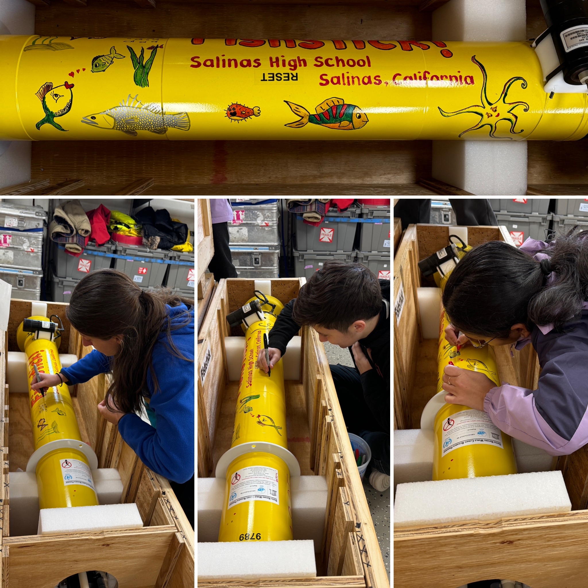
Several scientists added their fish design to create a collaborative work of art.
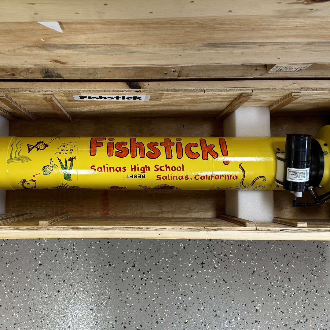
The finished product!
Deployment was once again a breeze, with the amazing crew on the R/V Thompson. We even had a bit of color in the sunset, which was a welcome change after many days of grey skies and southern light. In order to ensure that the float moves quickly away from the ship, we need to be moving at 1-2 knots speed into the wind. Good communication between the deployment crew and the bridge is crucial for a successful deployment. After deployment, the float is towed briefly behind the ship while the deployment line is retrieved. It will then float on the surface for a few minutes before submerging.
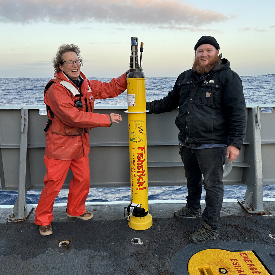
Fishstick! is ready to deploy.
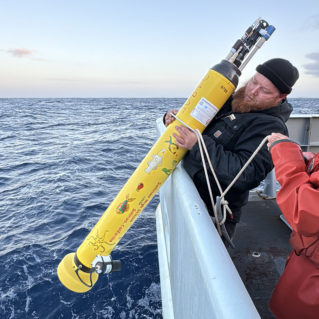
AB Aaron Walker carefully lifts Fishstick! over the side.
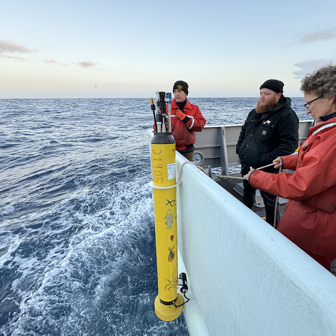
Waiting for the all-clear from the captain to ensure that we’re making 1-2 knots headway before we deploy the float.
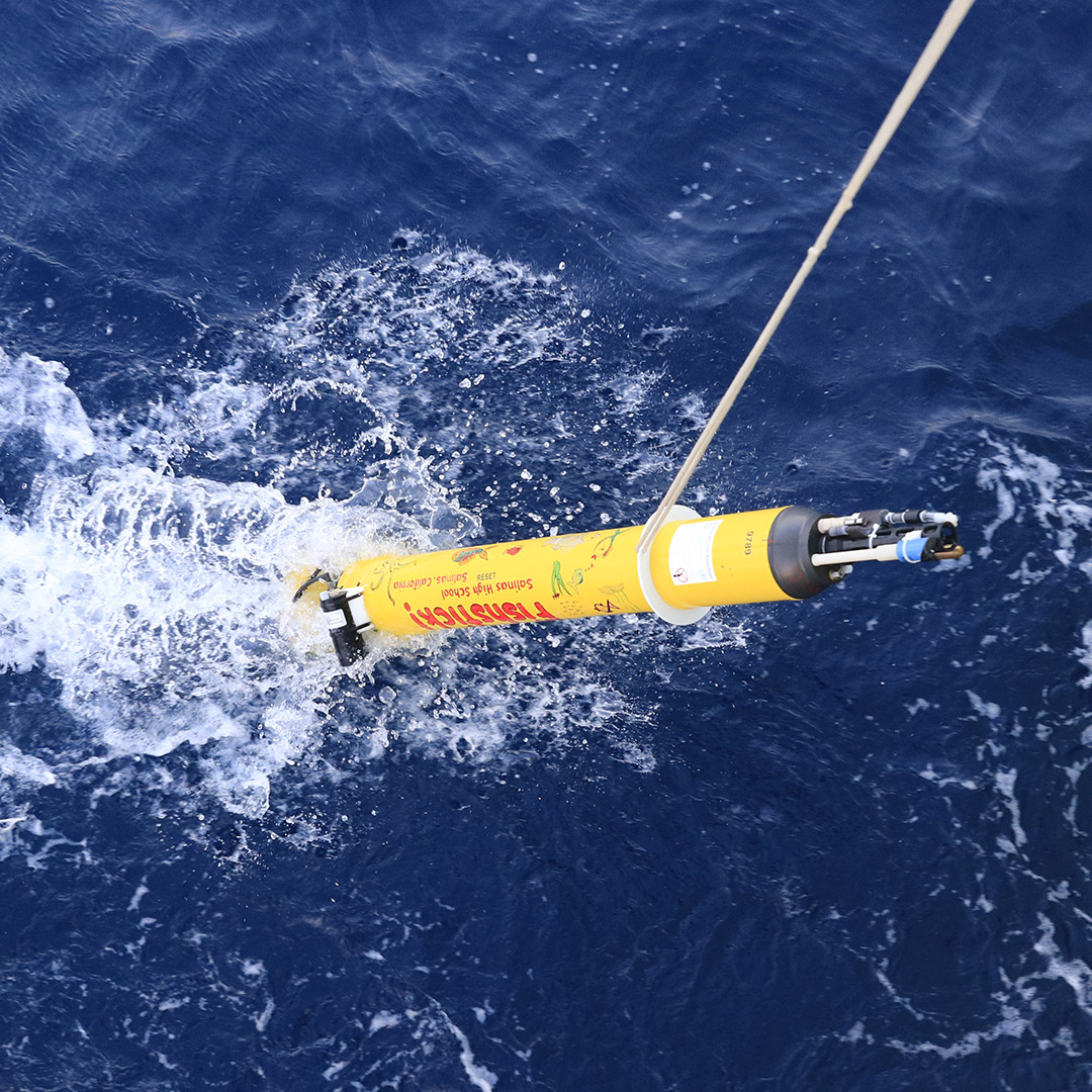
Fishstick! splashes down in our wake before being released to float away on its mission.
There are several different ways to find information about any given float. All adopted floats are listed in theSOCCOM or GO-BGC adopted floats tables. These tables provide information and links for each individual float, including the adopter’s name and location, deployment date and location, and the date and location that the float was last heard from, as well as both the World Meteorological Organization (WMO) and Operator ID numbers.
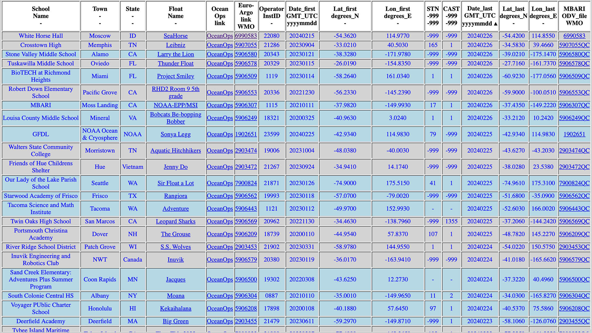
Find information and links about any adopted float in the adopted floats tables.
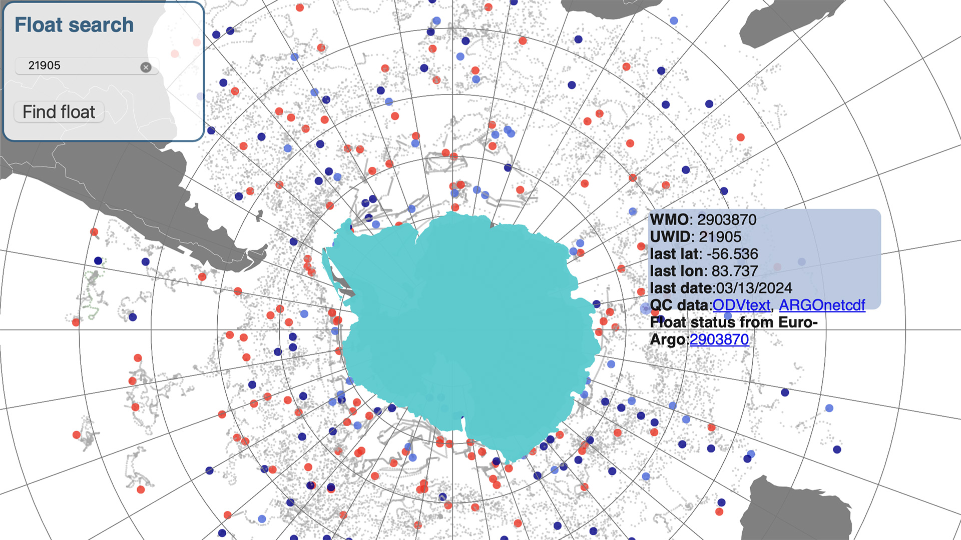
The interactive float maps show current locations and trajectories of BGC floats and provide links to float data.
Be sure to check out the “For Educators” page on the Adopt-a-Float website for lots of information, including background information on floats, how to access data, and featured lesson plans and activities.
