Changes in Latitude
Invisible lines in the sea
1 March 2024
When I was younger, I imagined the equator was a real line, if I went there, I’d be able to see it. As I got older, I learned it wasn’t like the globe, there is no bright red, yellow, or white line pointing out 0 degrees latitude. Even the first down lines aren’t present on the football field, like they are on your television. The world is full of imaginary lines!
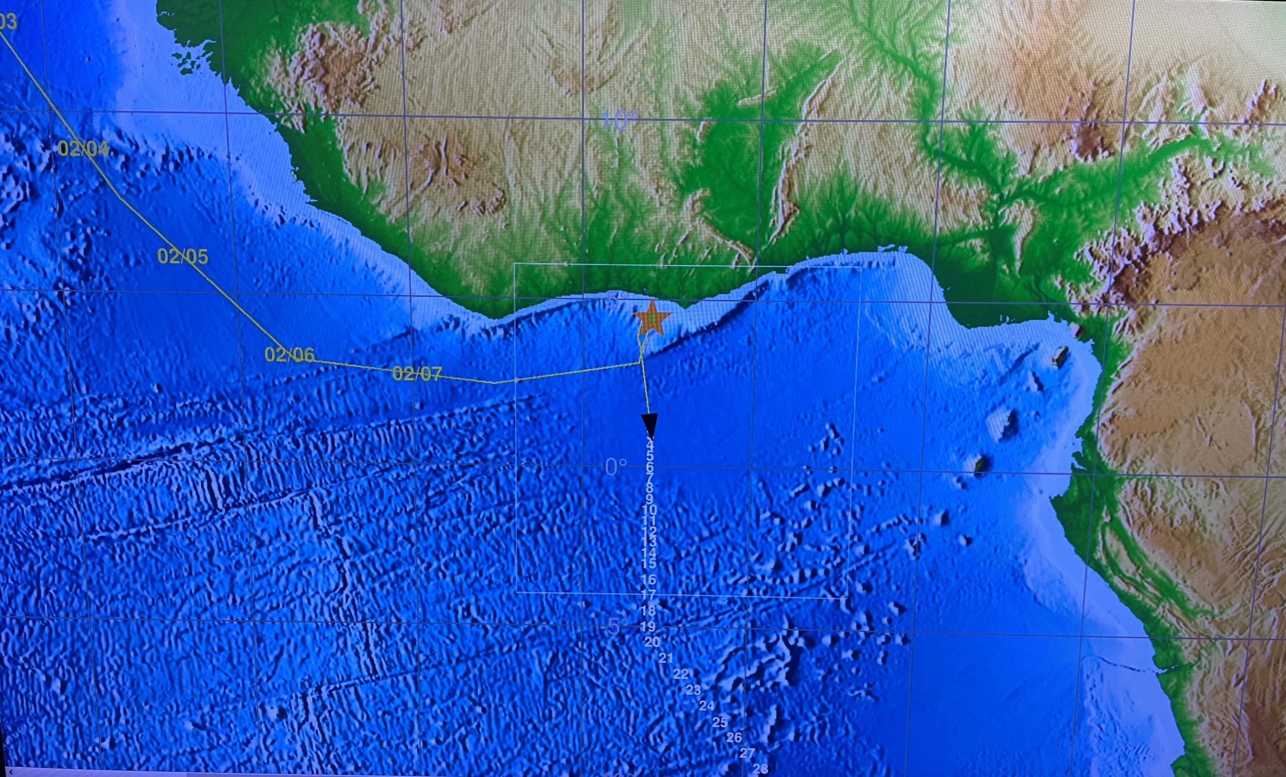
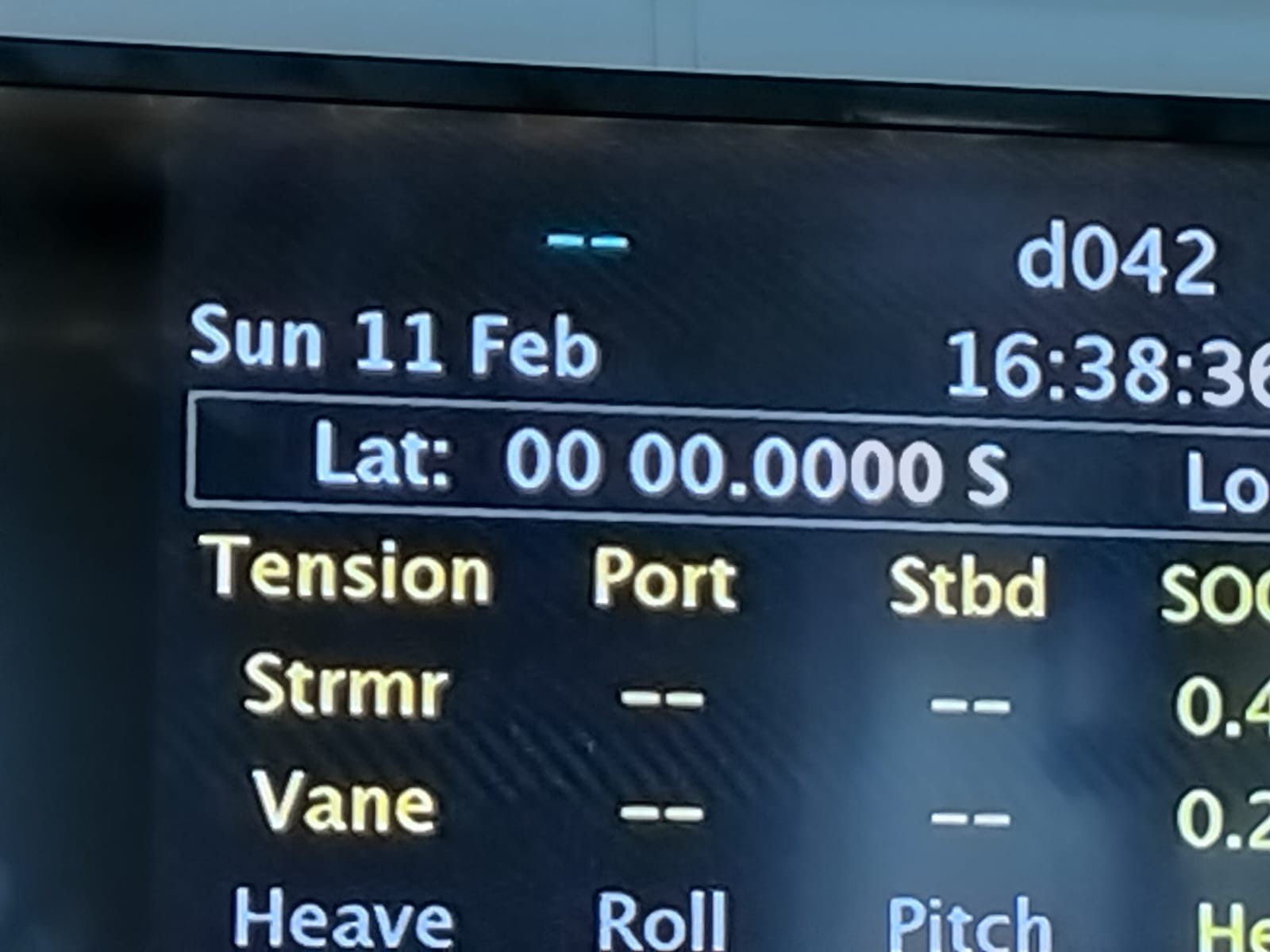
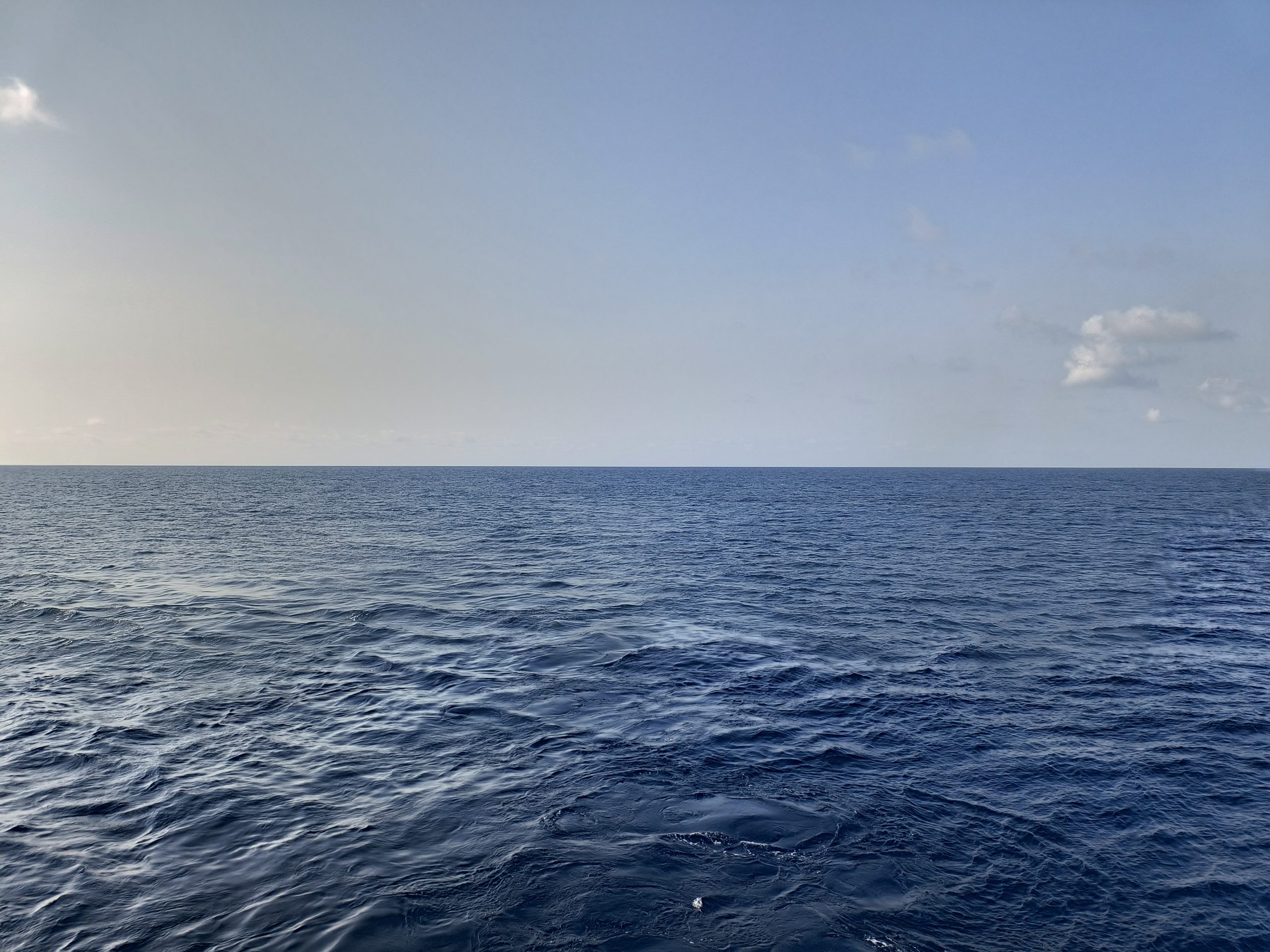
We crossed the equator on February 11th. It was still warm, but not as hot as it had been. The sea was flat enough that it would be pretty simple to draw a line, if one wanted to do
We crossed the Tropic of Capricorn in the wee hours of the morning on February 27th, it was a completely different scene, though still beautiful, and much calmer than it had been the day before.
So, why are these lines important and why do we care? The equator, as most elementary children learn, is the line circumnavigating the center of the planet Earth. It’s longer than the longitude line (ironically) because the Earth is not a true sphere, and instead more like an inflated basketball being sat on by a 50-pound kid. Slight bulge in the center. It’s important to sailors because there have been years of traditional ceremonies marking the crossing, transforming pollywogs into shellbacks. Ceremonies aren’t quite as rigorous as they once were, if they are still held at all. My third crossing was my first ceremony, and I’ve not been asked to show proof of being a shellback since, but I wish I had. Then I may still know where my card is!
The Tropics of Cancer and Capricorn are important because they mark the Northern and Southernmost points at which the sun is still directly overhead at noon, at some point during the year. Sad to say, the sun will not be overhead at noon for the rest of our trip into more invisible lines, through the 30s, 40s, and almost halfway into the 50s. Will we still see the sun? Hopefully! Just kidding, it’s summer in the southern hemisphere now, so we better!
More invisible lines sailors care about are the Arctic and Antarctic Circles, the Prime Meridian, and the International Date Line. The International Date Line is the line that should make anyone imagining invisible lines the nuttiest, since it isn’t even straight! The certificate for crossing is the domain of the golden dragon, which is pretty cool. I’m a golden shellback since I’ve been at the crossing of the International Date Line and Equator more than once, and no, there wasn’t even an X!
Jennifer Aicher, O2 Team, March 1, 2024
University of Miami Rosenstiel School of Marine, Atmospheric, and Earth Science.

